
Every Hydra Trails route is signed in the field with one consistent system: a map board at the port, wooden signposts at junctions and blue-and-white paint marks along the way.
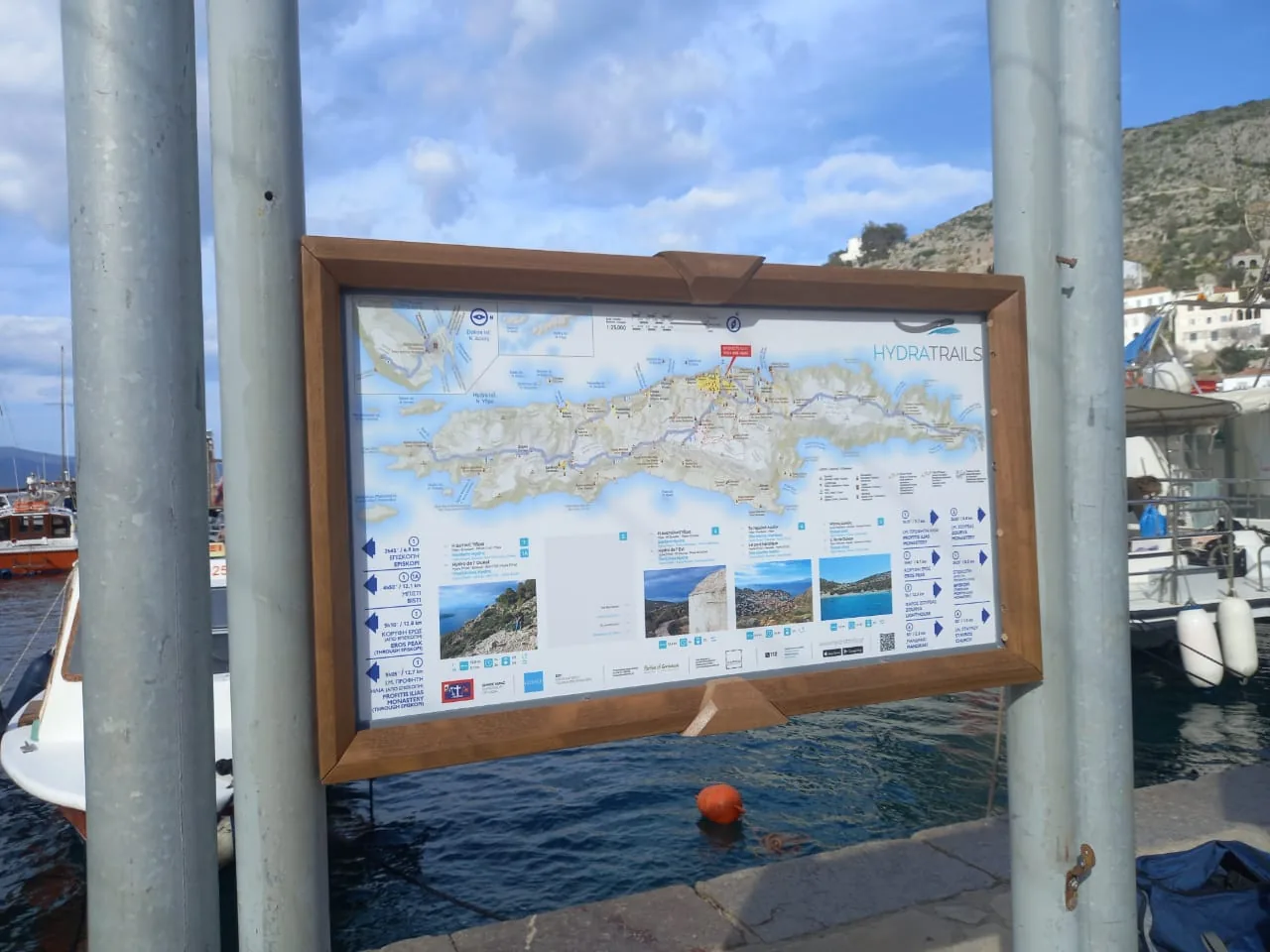
All walks begin at the trail map board on the quay of Hydra port. It shows the whole network on one map, with every route, its number, walking time and distance, and the main destinations. There are no separate trailhead signs: the port board is the network’s starting point, so take a photo of it or open the app before you set off.
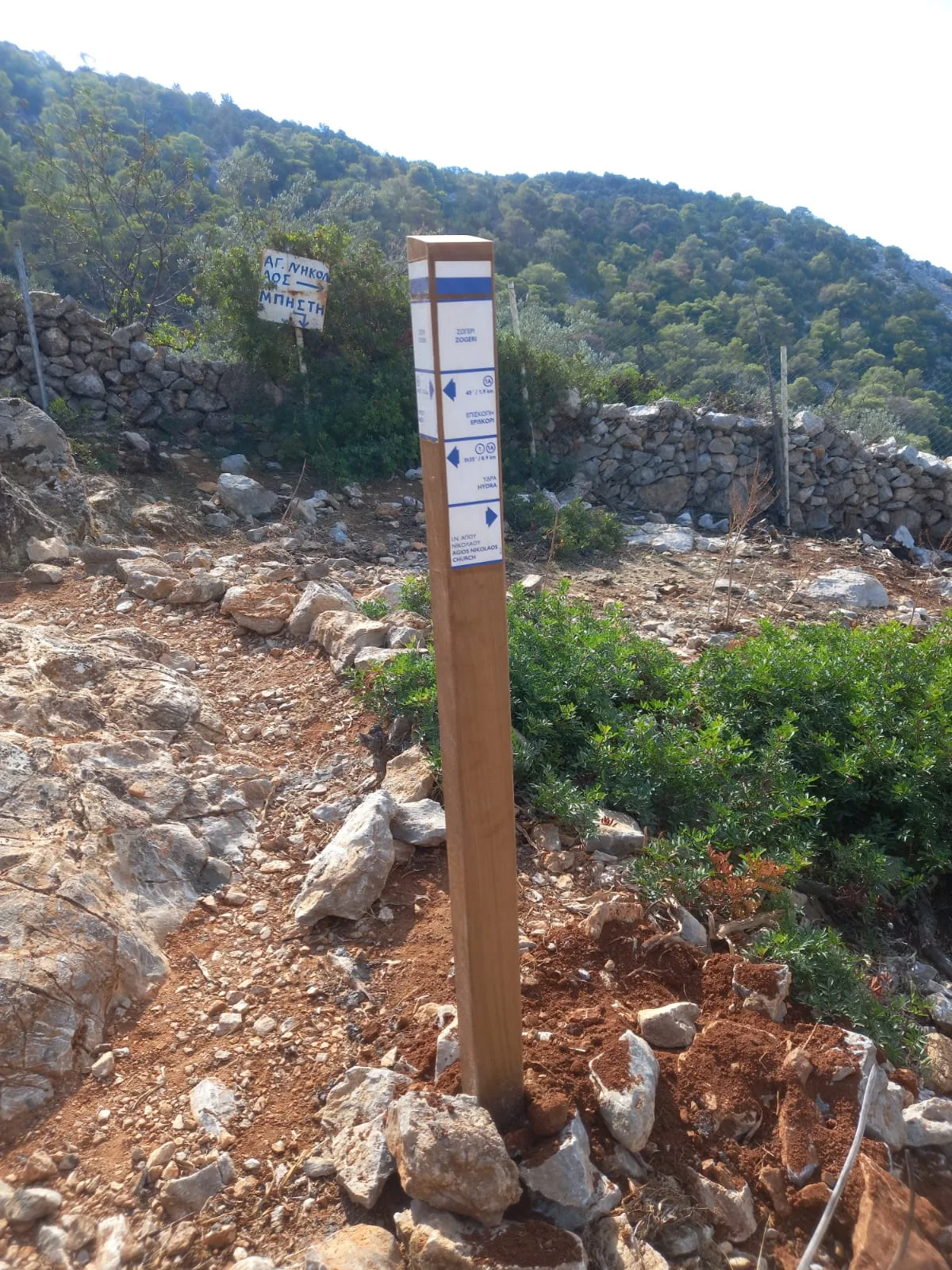
At every junction a wooden post with white plates shows the way. The top plate tells you where you are; each plate below points towards a destination and gives the trail number, walking time and distance.
Between junctions, look for blue-and-white paint marks on rocks, walls and posts.
The free Hydra Trails app has offline maps and GPS navigation, so you stay on route even where there is no signal.


Walk carefully: you walk at your own risk. Mobile signal is patchy in places, so do not walk alone, carry water and tell someone your route.